
Australia has some of the largest open pit quarries and underground mines in the world. However, due to lack of proper planning, a majority of these mining sites have been abandoned.
In recent years, the government is using modern day drone and laser scanning technologies to reimagine these mining sites. With UAVs, engineers can easily collect on site data, explore underground quarries and also ensure workplace safety.
In the Northern Territory, mining activities date back to the1860s. And here, the Legacy mines are a major problem. In fact, the estimated liability costs have even crossed $1bn!
Here is everything you need to know about underground mineral surveying and the role drones play in improving on site inspection.
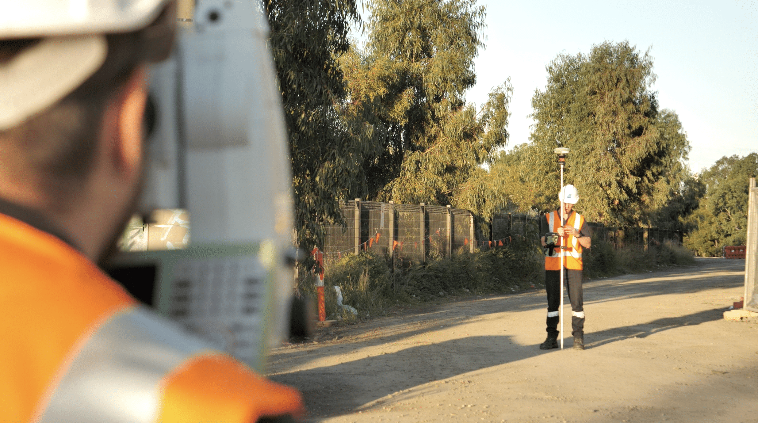
Image: https://www.avian.net.au/wp-content/uploads/2021/06/Screen-Shot-2021-02-15-at-10.19.01-am.png
And why is drone tech so useful in mineral surveying?
Well, drones can reach inaccessible areas, producing digital terrain models that give operators a better perspective of the site.
You don’t have to send workers to the deep mine pits and endanger their lives anymore. Let drones do all the hard work for you!
Read on to know all about new age drone tech and how it helps with aerial asset inspection on mining sites?
Greater range and flexibility of drones
UAVs can travel 100ha per trip and can cover a total of more than 700 ha in one day. These little flying machines can also function without GPS connectivity. Although, I recommend you get drone equipment that comes integrated with GPS navigation.
With GPS, it is easier to track drones when they are deep underground or exploring hard to reach places like under the bridge or over large towers.
Drones therefore are a far more flexible and effective alternative to manual inspections. It makes your job a lot easier as well as you can now get all the site data streamed to your system in real time without having to physically visit the site.
Drones to explore underground mines
Mining sites are very dangerous and the workers are often exposed to toxic co2 gases. So, sending workers to the depths of underground mining pits can be quite risky. Drones and 3D laser scanners are literally a lifesaver in these situations.
Any data collected by the drone can be used for planning and mine management.
And as per the recent developments in drone tech, a Japanese UAV provider called Terra Drone has recently launched their outlet in Brisbane.
The new terra drones combine UAVs with LiDAR (Light Detection and Ranging) laser scanning sensors. With these UAV solutions, you can get accurate survey measurements within three centimetres of the location point.
The system offers smart surveying, land inspection, and terrain mapping insights of your site. In fact, drones are also helpful for stockpile management, calculating encroachment of power lines, nearby vegetation, critical infrastructure repairs etc.
Real time land surveying
Contractors really have to up their game when it comes to on site audits. With drones you can improve these audit surveys and also ensure that the footage collected is accurate and in tune with your project needs.
With real time terrain mapping and surveying, you can make decisions about on site repairs, detect sections that need to be filled etc to level the land.
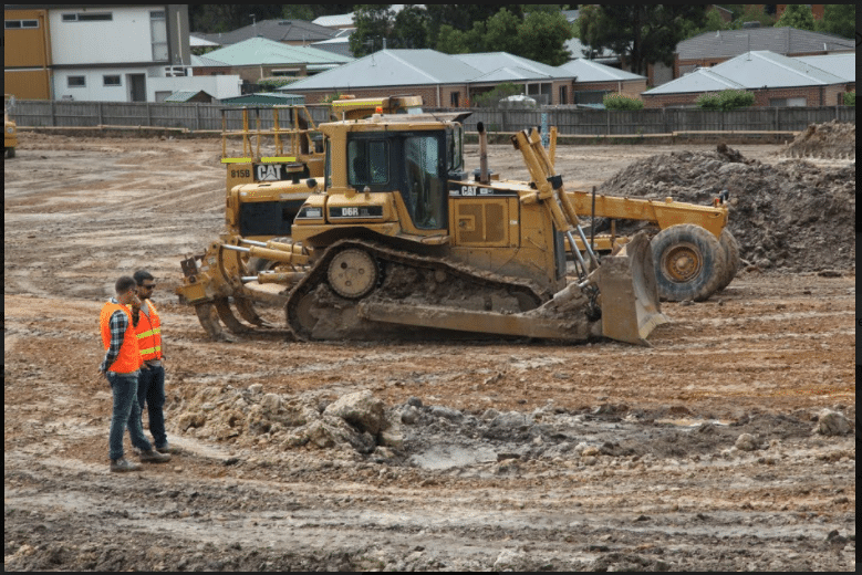
Image: https://www.avian.net.au/wp-content/uploads/2021/07/image4.png
On site repair and maintenance
Drones also help detect any damages, breakages, leakages etc in the mining sites, pipelines etc. This ensures that you can repair these damages before they get worse and lead to some accidents.
One thing I always recommend drone operators is- get commercial drone insurance. You can choose among two types of insurance policies
Hull insurance- insuring the drones where you can claim cost of UAV equipment in case of any damages
Public liability insurance- providing coverage against any third party damages caused by the drone.
Stockpile management
In any open pit or mining site, you can find huge stockpiles which are often uneven and unorganised. Sorting and surveying these huge volumes of stockpiles can be a cumbersome task.
Drones are better than the regular GNSS inspection. You don't have to walk around the site, inspecting stockpiles manually.
Drones can easily gauge the measurements and volume of the stockpiles. Keeping these stockpiles in good conditions is crucial as somewhere down the supply chain you can convert the stockpiles into actual currency.
Asset inspection
Aerial mapping also helps engineers create attractive 3D maps and models. With these maps, you can create stunning working models and concept prototypes.
These videos are a great addition for your business proposals and presentations. At Avian for instance, we help clients prepare company profile videos using drone footage. This makes the project data attractive and accessible to potential investors.
Tracking worksite productivity
And last but not the least, drones also help engineers keep an eye on the project and track its progress. Staying on schedule is perhaps one of the biggest challenges for any on site contractor.
And manual inspections and physical site visits just doest cover it. With UAVs you can now monitor everything that is happening on site. From checking up on assets to tracking productivity, any damages etc- you can do it all.
Comments
I am a mineral Engineer graduate and a certified drone pilot by the AUVSI. I love this drone technoloy as such I am open and willing to learn all I can Particularly its application in mining. I have been flying drone for almost two years now doing crop spraying (Hebicides, pesticides, Folic fertilisers etc) in estates using the agras T16, 20 and 30. I have also been flying the Phantom 4 RTK and Matrice 300 for surveying/mapping. I posess some basic skills on data processing and analysis using GIS, Pix4d mapper and agisoft . Right now my undying desire is to learn how more about drones and mining in terms of mine planning, stock pile management and many more.